We've compiled a list of 18 free and paid alternatives to R2V. The primary competitors include Inkscape, Autotracer.org. In addition to these, users also draw comparisons between R2V and LineTracer, Ludigraphix, KVEC. Also you can look at other similar options here: About.
We've compiled a list of 18 free and paid alternatives to R2V. The primary competitors include Inkscape, Autotracer.org. In addition to these, users also draw comparisons between R2V and LineTracer, Ludigraphix, KVEC. Also you can look at other similar options here: About.
Advanced raster to vector conversion software for automated map digitizing, GIS data capture and...
Advanced raster to vector conversion software for automated map digitizing, GIS data capture and...
R2V Platforms
Windows
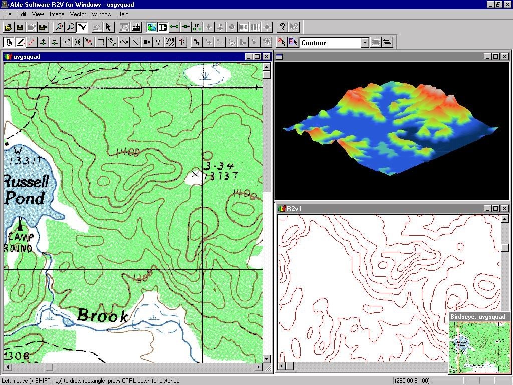
R2V Video and Screenshots
R2V Overview
R2V is an advanced raster to vector conversion software for automated map digitizing, GIS data capture and CAD conversion applications. R2V is currently being used in more than 60 countries by thousands of users for mapping and GIS data conversion applications.
R2V supports fully automatic vectorization and interactive line tracing from scanned maps and drawings. R2V inputs bi-level, grayscale, and color images in TIFF, GeoTIFF, GIF, JPEG, RLC, PNG or BMP formats. It exports vector data to ArcView Shapefiles, Arc/Info Generate, MapInfo MIF/MID, AutoCAD DXF, IGES, STL, VRML, SVG ( Scalable Vector Graphics) and MapGuide SDL formats.
R2V provides complete on-screen image and vector editing, labeling, and geo-referencing using GeoTIFF or user specified control points, image rubber sheeting, color image classification and separation, text symbol detection and recognition (OCR), automatic polygon layer creation, 3D DEM and Grid creation, and 3D display and image draping. R2V is currently being used in more than 60 countries for mapping and GIS database creation applications.