We've compiled a list of 13 free and paid alternatives to NASA World Wind. The primary competitors include Google Earth, Marble. In addition to these, users also draw comparisons between NASA World Wind and Planetarium, Flash Earth, SAS.Planet. Also you can look at other similar options here: Travel and Location Software.
We've compiled a list of 13 free and paid alternatives to NASA World Wind. The primary competitors include Google Earth, Marble. In addition to these, users also draw comparisons between NASA World Wind and Planetarium, Flash Earth, SAS.Planet. Also you can look at other similar options here: Travel and Location Software.
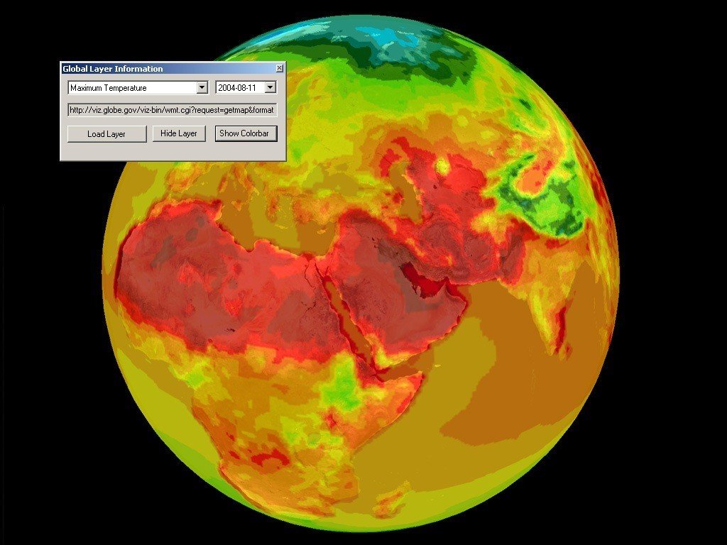
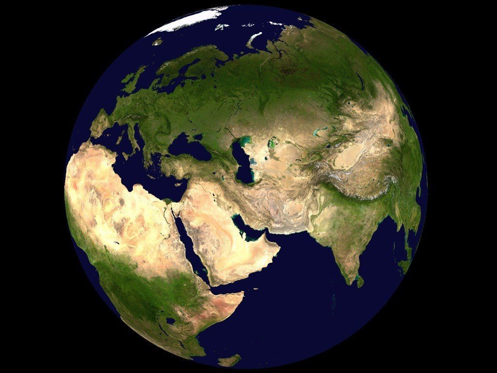
World Wind lets you zoom from satellite altitude into any place on Earth.
World Wind lets you zoom from satellite altitude into any place on Earth.
NASA World Wind Platforms
Windows
Linux
Mac
NASA World Wind Video and Screenshots
NASA World Wind Overview
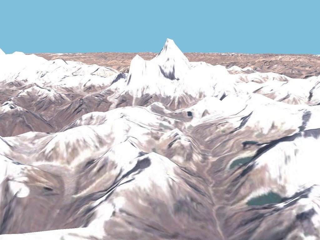
World Wind lets you zoom from satellite altitude into any place on Earth. Leveraging Landsat satellite imagery and Shuttle Radar Topography Mission data, World Wind lets you experience Earth terrain in visually rich 3D, just as if you were really there.
Virtually visit any place in the world. Look across the Andes, into the Grand Canyon, over the Alps, or along the African Sahara.