Select your language

Home arrow-right ... arrow-right Travel and Location Software arrow-right Hiker

We've compiled a list of 3 free and paid alternatives to Hiker. The primary competitors include OruxMaps, MotionX GPS. In addition to these, users also draw comparisons between Hiker and Outdooractive. Also you can look at other similar options here: Travel and Location Software.


OruxMaps is an online/offline map viewer and track logger for Android.

MotionX-GPS is the leading GPS App for the iPhone and iPad.

Our Vision is to make topographic maps, tour suggestions and incredible outdoor experiences...

The multi-purpose toolbox for hikers including speedometer, compass and much more.

Hiker Platforms

tick-square iPhone

Hiker Video and Screenshots

Hiker Overview

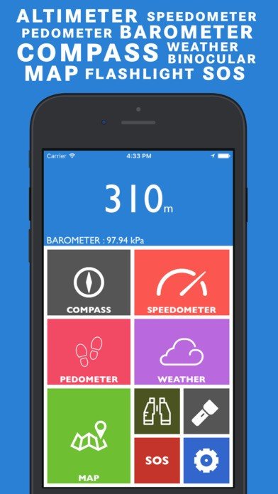
Hiker is a multipurpose app equipped with features like barometer, altimeter, compass over your current satellite location, weather updates, speedometer and pedometer. Use maps and binoculars for scouting. And flashlight, SOS for exigencies.

FEATURES INCLUDE:

ALTIMETER and BAROMETER: Get to know the latest elevation and atmospheric pressure around you using Altimeter and Barometer.
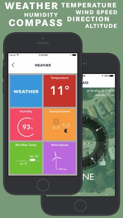
COMPASS: Compass above your satellite position always pointing according to real time direction.
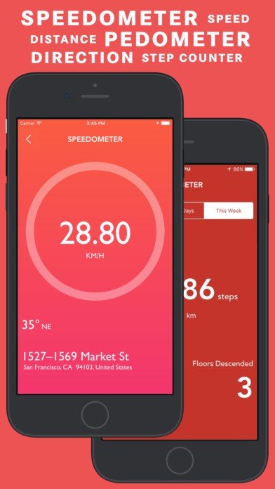
SPEEDOMETER : Speedometer to get real time speed readings along with real time direction and location address.
PEDOMETER / STEP COUNTER: Pedometer provides you the data about the steps taken and distance travelled in a specific time period along with Floors traversed.
WEATHER : Weather provides you the real time weather updates based on your location. Get Current Temperature, Humidity, Sunrise/Sunset Time, Min/Max Temperature and Wind Speed.
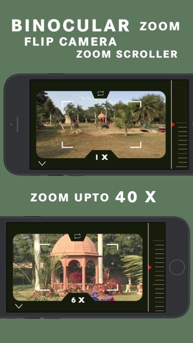
BINOCULAR : Super digital binocular app with HIGH QUALITY ZOOM upto 40X
FLASHLIGHT : Bright, optimized and reliable flashlight. The most easy to use and useful flashlight.
SOS : In problem? Message your dear ones with real time Coordinates using SOS function.
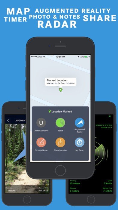
MAP : Track your position in maps with Standard/Hybrid/Satellite maps.
RADAR : Locate your marked location using RADAR
AUGMENTED REALITY: Real Time Directional ARROW point towards the direction of your marked location.
PHOTO AND NOTES: Take a picture along with written notes of your marked location and save it. So you can find your marked location even more easily.
MARKED LOCATION TIMER: Set timer alert and get push notification after timeout.
GET COORDINATES: Now you can copy your current coordinates and your marked coordinates using Get Coordinates section in “MAP SETTINGS”.
VOICE INSTRUCTIONS: Get voice instructions when you : Mark/Unmark your location.

Hiker Features

tick-square Pedometer

Top Hiker Alternatives

Share your opinion about the software, leave a review and help make it even better!

Hiker Tags

hikers speedometer compass navigation

Suggest Changes

Your Feedback

Select a rating
Please select a rating

Your vote has been counted.

Do you have experience using this software?