gvSIG is a Geographic Information System (GIS), that is, a desktop application designed for capturing, storing, handling, analyzing and deploying any kind of referenced geographic information in order to solve complex management and planning problems.
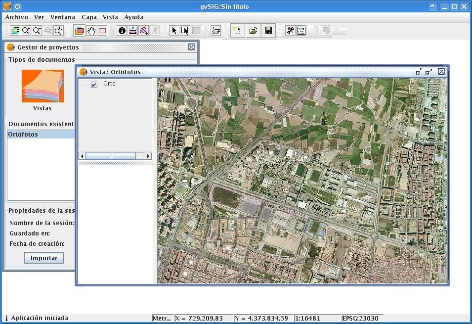
gvSIG is known for having a user-friendly interface, being able to access the most common formats, both vector and raster ones. It features a wide range of tools for working with geographic-like information (query tools, layout creation, geoprocessing, networks, etc.), which turns gvSIG into the ideal tool for users working in the land realm.
gvSIG is known for:
integrating in the same view both local and remote data through OGC standards. being designed to be easily extendable, allowing continous application enhancement, as well as enabling the development of tailor-made solutions. being open source software, under GNU/GPL license, which allows its free use, distribution, study and improvement. being available in several languages (Spanish, English, German, French, Italian,...) being developed using Java, and being available for Linux, Windows and Mac OS X platforms
Features
Typical tools in a full-fledged desktop GIS client can also be found in gvSIG, among other things:
Access to vector formats: SHP, DXF, GML, DWG, DGN,... Access to raster formats: JPG2000, MrSID, Ecw, Erdas, Envi,.. Access to remote services: OGC (WMS, WFS, WFS-T, WCS), ArcIMS, Ecwp Database access: PostGIS, MySQL, ArcSDE, Oracle,.. Display:zooms, panning, frames, ... Query: information, area and distance measurement,... Selection: by point, by rectangle, by polygon, by theme, alphanumeric search,.. Geoprocessing: buffer, intersection, clip, join, convex hull, ... Editing: add features, alphanumeric editing, rotate, node editing,... Catalogue and nomenclator services Redes: camino mínimo, área de servicio, gestión de paradas,... Topology: topological error fixing, polygons from lines, ... Legend: unique values, intervals, symbology constructor, ... Advanced labelling Raster and remote sensing: dispersion diagrams, colour tables, filters, classification,... Tables: links, joins, statistics, fields calculator,... Layout constructor: cartographic elements (north, scale, frames,...), page layout,... Printing:to PDF, to Postscript, export to several image formats,... Publishing:MapServer\'S WCS, WMS and WFS, Geoserver\'S WFS.