Wybierz swój język

Powrót arrow-right ... arrow-right Oprogramowanie podróżnicze i lokalizacyjne arrow-right Adze

Oto lista 3 bezpłatnych i płatnych alternatyw dla Adze. Główni konkurenci obejmują TrailRunner, GPSy. Oprócz tego, użytkownicy porównują także Adze z TrackMap. Ponadto można spojrzeć na inne podobne opcje tutaj: Oprogramowanie podróżnicze i lokalizacyjne.


TrailRunner, oprogramowanie do planowania trasy dla sportów na duże odległości, takich jak jazda na rowerze, turystyka ...

GPSy
Free

GPSy to zaawansowany program do komunikacji GPS i mapowania GIS dla komputerów Mac.

TrackMap pozwala szybko i łatwo wizualizować swoje ślady GPX i punkty na mapie.

View and edit GPX files from your GPS device.

Adze Platformy

tick-square Mac

Adze Wideo i zrzuty ekranu

Adze Przegląd

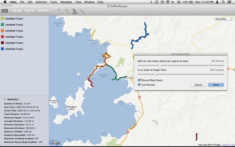
Adze gives you the tools to edit GPX documents like a pro: create, modify and delete tracks, plan routes, mark waypoints, and more.

cechy

* Dissect Recordings - Merge tracks that shouldn't have been split, or split tracks that should have. Delete undesired sections or extract detours as a separate track.
* Plan Routes - If you're planning an expedition, Adze allows you to plan the route and mark waypoints, check distances and view the proposed route on multiple maps before exporting the GPX data to a device.
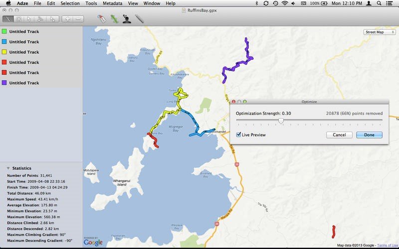
* Tidy Documents - Optimise tracks to remove redundant data, change item names and colors, edit GPX document metadata and prepare your documents for sharing.
* Edit Points - Add, move or remove points graphically with the Edit Point tool, or use the points list to manually edit values.
* Identify Rest-stops - Adze can identify areas where you stopped for a rest, lunch, or an overnight stay and automatically split your tracks at those locations.
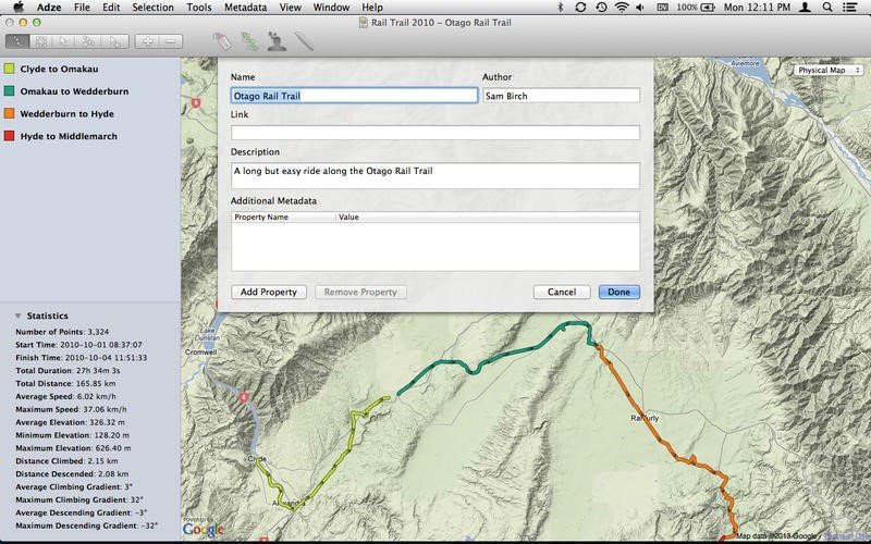
* Update Metadata - Change item names or colors and give your GPX document a title, author or description.
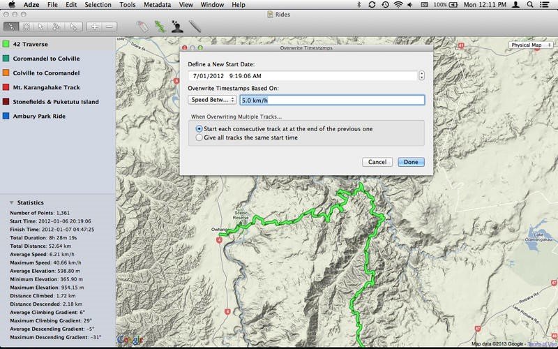
* Fix Timestamps - Offset timestamps by a fixed amount, overwrite them in bulk or remove them completely.
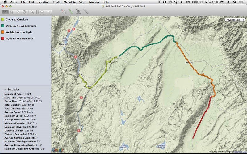
* Collect Statistics - View statistics about duration, speed, elevation and gradient for entire documents or selected sections.
* View Documents - View your documents on a road, topographic or satellite map directly within Adze or export to KML to view it in Google Earth.

Najlepsze alternatywy dla Adze

Podziel się swoją opinią na temat oprogramowania, napisz recenzję i pomóż jeszcze bardziej je ulepszyć!

Adze Tagi

traveling gps maps mapping

Zaproponuj zmiany

Twoja opinia

Wybierz ocenę
Proszę wybrać ocenę

Your vote has been counted.

Do you have experience using this software?