We hebben een lijst samengesteld van 36 gratis en betaalde alternatieven voor QGIS. De belangrijkste concurrenten zijn Maptitude, GRASS GIS. Daarnaast trekken gebruikers ook vergelijkingen tussen QGIS en OpenGeo Suite, ArcGIS, SuperGIS. Ook kun je hier kijken naar andere vergelijkbare opties: Reis- en locatiesoftware.
We hebben een lijst samengesteld van 36 gratis en betaalde alternatieven voor QGIS. De belangrijkste concurrenten zijn Maptitude, GRASS GIS. Daarnaast trekken gebruikers ook vergelijkingen tussen QGIS en OpenGeo Suite, ArcGIS, SuperGIS. Ook kun je hier kijken naar andere vergelijkbare opties: Reis- en locatiesoftware.
A fully featured, user friendly, open source Geographic Information System (GIS) with similar power...
A fully featured, user friendly, open source Geographic Information System (GIS) with similar power...
QGIS Platforms
Windows
Linux
Mac
Android
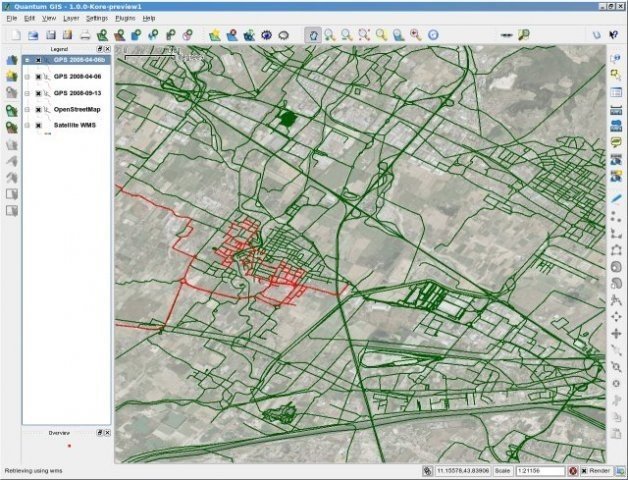
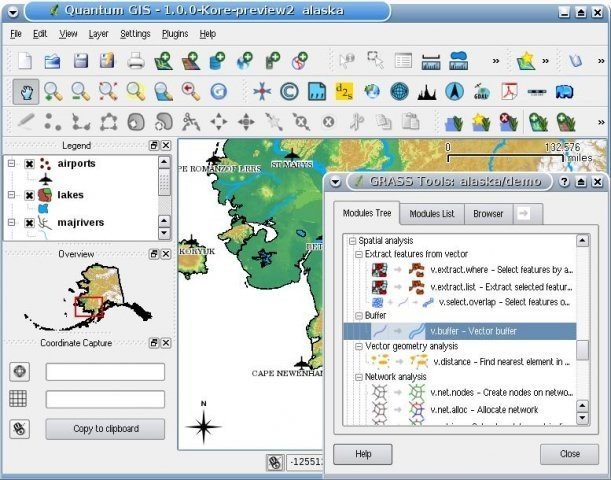
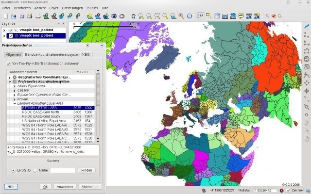
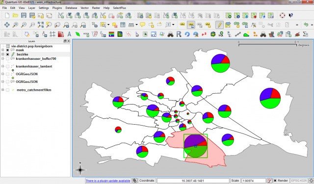
QGIS Video en schermafbeeldingen
QGIS Overzicht
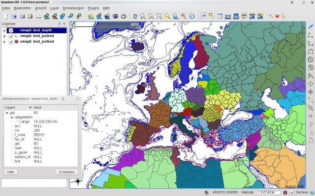
QGIS, formerly Quantum GIS, is a user friendly open source Geographic Information System (GIS) licensed under the GNU General Public License that runs on Linux, Unix, Mac OSX, and Windows and supports numerous vector, raster, and database formats and functionalities.
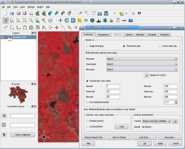
QGIS lets you browse, edit and create a variety of vector and raster formats, including ESRI shapefiles, spatial data in PostgreSQL/PostGIS, GRASS vectors and rasters, or GeoTiff. You can create customised plugins and GIS enabled applications using Python or C++. Maps can be compiled for printing using the print composer.
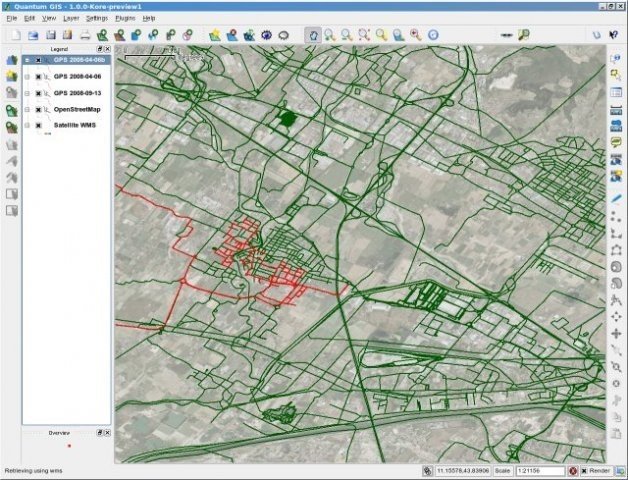
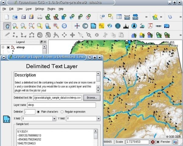
QGIS supports plugins to do things like import of delimited text data, download tracks, routes, and waypoints from your GPS or visualize OGC WMS and WFS layers.