Select your language

Home arrow-right ... arrow-right Travel and Location Software arrow-right 2GIS

We've compiled a list of 41 free and paid alternatives to 2GIS. The primary competitors include Google Maps, Google Earth. In addition to these, users also draw comparisons between 2GIS and OpenStreetMap, Waze, HERE WeGo. Also you can look at other similar options here: Travel and Location Software.


Google Maps is a basic web mapping service application and technology provided by Google.

Google Earth lets you fly anywhere on Earth to view satellite imagery, maps, terrain, 3D buildings...

OpenStreetMap
Free Open Source

OpenStreetMap (OSM) is a collaborative project to create a free editable map of the world.

Waze
Free

Waze is a social GPS navigation app that allows drivers to build and use live maps & real-time...

Explore the world in glorious 3D with HERE Maps.

MAPS.ME
Free Open Source

Fast, detailed and completely offline maps for mobile devices

OruxMaps is an online/offline map viewer and track logger for Android.

Yandex.Maps gives you access to maps of over 1800 cities and towns right in your pocket.

The default maps experience on MacOS, iOS and watchOS

Bing Maps (previously Live Search Maps, Windows Live Maps and Windows Live Local) is a web mapping...

2GIS provides 3D-maps of 180+ cities, contacts of 1.

2GIS Platforms

tick-square Web-Based
tick-square iPad
tick-square Android
tick-square iPhone

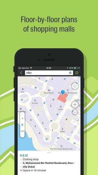
2GIS Video and Screenshots

2GIS Overview

2GIS provides 3D-maps of 180+ cities, contacts of 1.5 million companies, car routing and public transport routes and and more! 2GIS is a complete and up-to-date directory of organizations with detailed cities’ maps.

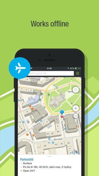
2GIS — Offline maps and business listings. Verified information about restaurants, bars, hotels and any location with photo and review. Helpful travel guide. Navigation: get car directions, public transport routes including metro.

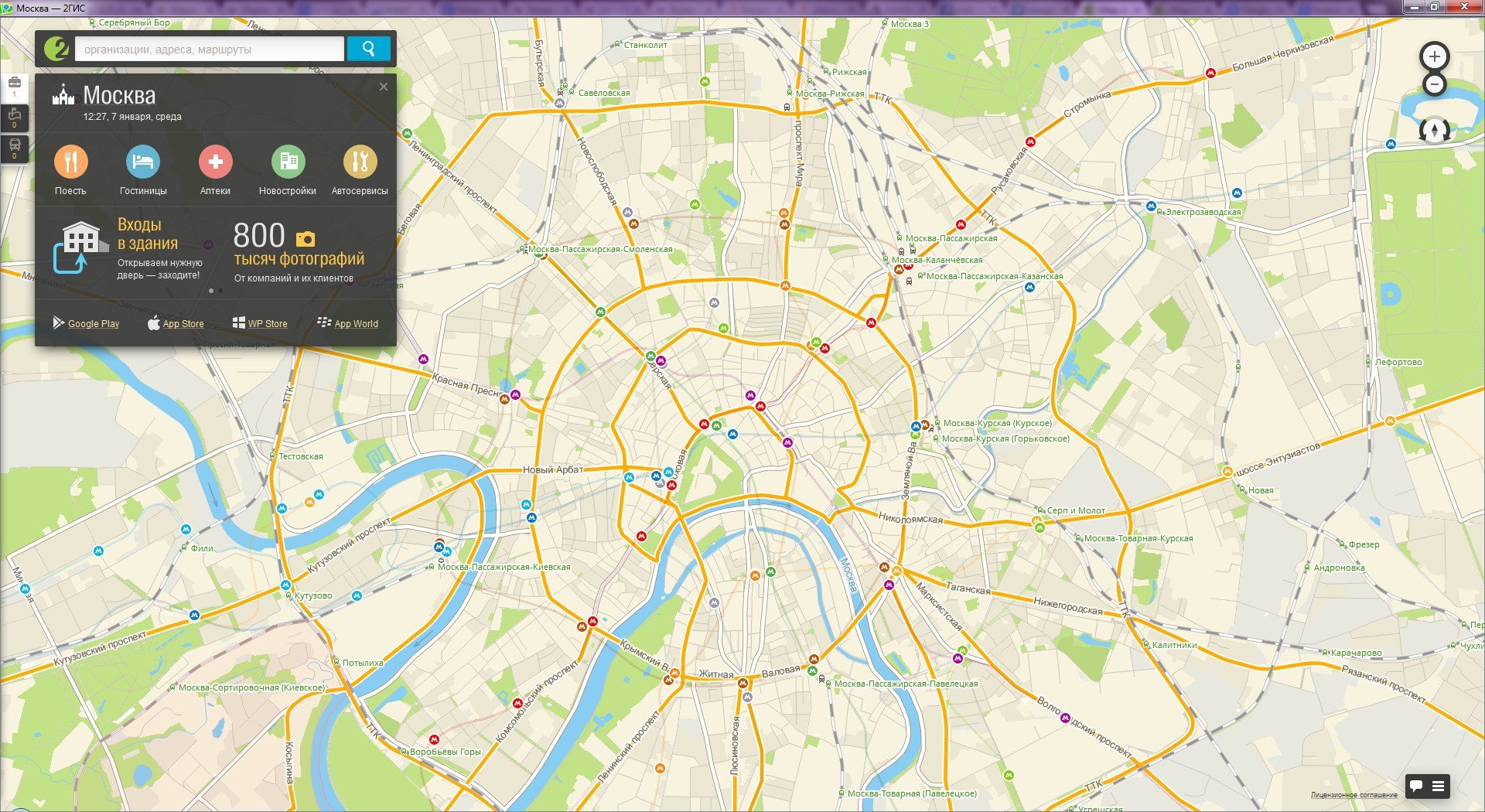
Most detailed city map
A 3D city map showing the finest details, including driveways and fences. It is available online and can be downloaded as an offline application for PC and smartphones.

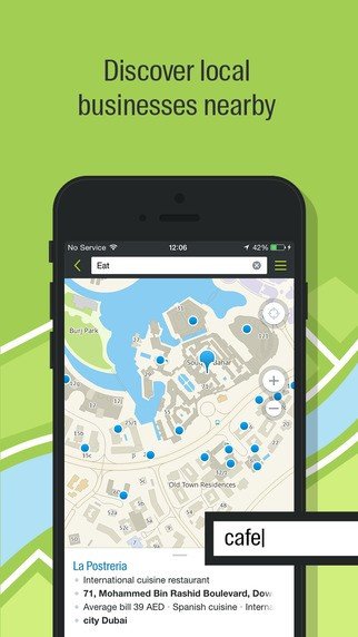
Contact details of all organizations
A user-friendly search engine and detailed information on all city companies, from state agencies to nearby kiosks, including addresses, phone numbers and working hours.

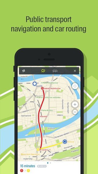
Public transport routes
2GIS shows the exact location of transport stops with correspondent transport routes. You can see the whole transportation network of the city.

2GIS Features

tick-square Apps with Offline Map Support

Top 2GIS Alternatives

Share your opinion about the software, leave a review and help make it even better!

2GIS Tags

3d-maps route-mapping navigation maps 3d-graphics

Suggest Changes

Your Feedback

Select a rating
Please select a rating

Your vote has been counted.

Do you have experience using this software?